Hills
Best Hills in Rwanda 2026: Land of a Thousand Hills Guide
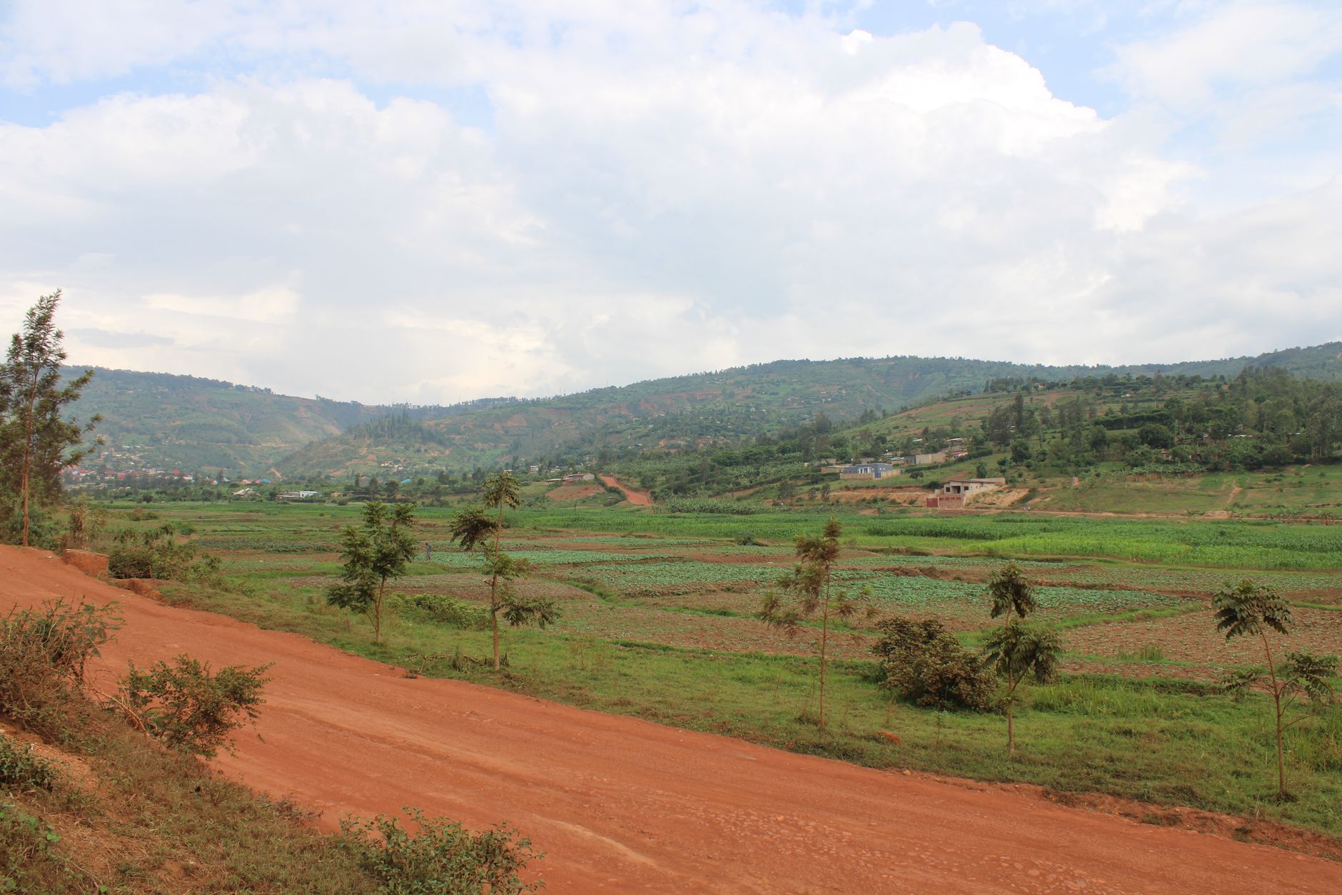
Rwanda packs more rolling green hills into its compact borders than almost anywhere else in Africa. You'll find thousands of undulating slopes carpeted in tea plantations, coffee farms, and pristine forests that stretch from the capital city to remote national parks...

Rwanda packs more rolling green hills into its compact borders than almost anywhere else in Africa. You'll find thousands of undulating slopes carpeted in tea plantations, coffee farms, and pristine forests that stretch from the capital city to remote national parks. The country earned its nickname "Land of a Thousand Hills" for good reason - nearly every vista reveals another layer of terraced hillsides disappearing into misty horizons.
What makes Rwanda's hills special isn't just their number but their incredible diversity. Some cradle bustling cities like Kigali, others hide ancient volcanic lakes, and many serve as home to endangered mountain gorillas. You can hike gentle slopes perfect for beginners or tackle challenging mountain foothills that test experienced trekkers. The best part? Most hills offer stunning panoramic views with minimal crowds, giving you space to actually appreciate the landscape.
Why Rwanda is Called the Land of a Thousand Hills
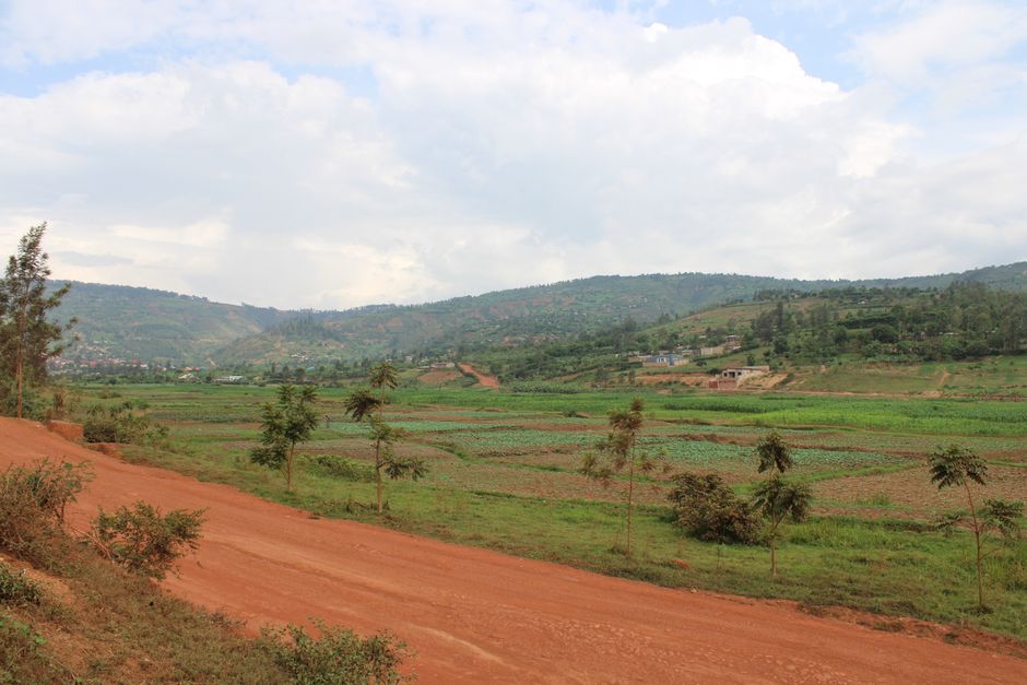
Rwanda's geography creates an almost surreal landscape of continuous hills that roll across the entire country. The nation sits on the East African Plateau at elevations between 1,000 and 4,500 meters, with very little flat land anywhere. Volcanic activity over millions of years shaped these hills, creating the distinctive rounded peaks and gentle slopes you see today.
The "thousand hills" nickname isn't just poetic - geographers count over 2,000 distinct hills across Rwanda's 26,338 square kilometers. That's roughly one hill for every 13 square kilometers, making it one of the hilliest countries on Earth. The Kinyarwanda phrase "igihugu cy'imisozi igihumbi" literally translates to "country of a thousand hills," and locals have used this description for centuries.
These hills aren't just geographical features. They define how Rwandans live, work, and move through their landscape. Traditional communities built terraced farming systems on hillsides that prevent erosion while maximizing agricultural space. You'll see this ancient technique still used today for growing coffee, tea, bananas, and staple crops across the country.
Mount Kigali: The Capital's Crown Jewel
Mount Kigali rises 1,850 meters above sea level, offering the best panoramic views of Rwanda's capital city. This prominent hill sits right in the heart of Kigali, making it easily accessible for visitors who want to see the entire city spread out below them. The summit provides 360-degree views that stretch to distant hills in every direction.
Getting to the top takes about 45 minutes of moderate hiking from the city center. The trail starts near the Kigali Convention Centre and winds through residential neighborhoods before entering more natural terrain. You'll pass local homes built directly into the hillside and small gardens where families grow vegetables and keep livestock.
Pro Tip: Visit Mount Kigali just before sunset for the best photography light. The city lights create a beautiful contrast against the surrounding hills as darkness falls.
The view from Mount Kigali shows you exactly why Rwanda is called the Land of a Thousand Hills. You can literally count dozens of hills stretching to the horizon in every direction. On clear days, you'll spot the Nyungwe Forest hills to the south and the Volcanoes National Park peaks to the north. The city itself sprawls across multiple hills, with modern buildings and traditional homes creating an interesting urban-rural blend.
Nyungwe Forest Hills: Ancient Volcanic Landscapes
Nyungwe National Park protects some of Rwanda's most dramatic hills, covered in pristine montane rainforest that has existed for over 60,000 years. These ancient volcanic hills range from 1,600 to 2,950 meters in elevation, creating diverse microclimates that support incredible biodiversity. You'll find over 300 bird species, 13 primate species, and thousands of plant varieties across these forested slopes.
The park's famous canopy walkway stretches 160 meters across a valley between two hills, giving you a bird's-eye view of the forest canopy 50 meters below. This is the only canopy walk in East Africa and offers a unique perspective on how the hills create natural corridors for wildlife movement. The walkway sways gently in the wind, adding an element of adventure to your forest exploration.
Hiking trails throughout Nyungwe follow ridge lines and valley floors between hills, offering different difficulty levels and wildlife viewing opportunities. The Igishigishigi Trail takes you to a hilltop viewpoint overlooking Lake Rweru, while the Karamba Birding Trail winds through several hills known for endemic bird species. Most trails require 2-6 hours of hiking and can be quite challenging due to steep terrain and high altitude.
- Canopy Walkway - 160-meter suspension bridge between hills, $60 per person as of May 2026
- Chimpanzee Tracking - follows troops through hilly terrain, $150 permit required
- Colobus Monkey Trail - moderate 4-hour hike across three hills, $30 guide fee
- Waterfall Trail - steep descent into valley between hills, $25 entrance plus guide
Lake Kivu Hills: Scenic Lakeside Elevations
The hills surrounding Lake Kivu create some of Rwanda's most postcard-worthy scenery. These terraced slopes drop dramatically from heights of over 2,000 meters down to the lake's surface at 1,460 meters, creating a natural amphitheater effect around Africa's sixth-largest lake. The combination of water views and rolling hills makes this region particularly popular with photographers and nature lovers.

The terraced hillsides around Lake Kivu showcase centuries of agricultural engineering. Local farmers carved these stepped platforms into steep slopes to grow coffee, bananas, sweet potatoes, and other crops while preventing soil erosion. Walking through these terraces feels like exploring a living museum of sustainable agriculture. Many terraces are still actively farmed by families who have worked the same plots for generations.
Several towns along Lake Kivu offer excellent bases for exploring the surrounding hills. Gisenyi (now part of Rubavu) provides easy access to hills with hot springs and volcanic beaches. Kibuye (now Karongi) sits on a peninsula surrounded by hills that create secluded coves perfect for swimming and kayaking. The town of Cyangugu offers hiking trails that climb from lakeside markets up through coffee plantations to forested hilltops.
Warning: Lake Kivu contains dissolved methane and carbon dioxide gases. While swimming is generally safe in designated areas, avoid deep water activities without proper guidance.
Volcanoes National Park: Virunga Mountain Foothills
The foothills of the Virunga Mountains provide Rwanda's most dramatic hill hiking, with slopes that rise from 2,400 meters to over 4,500 meters at the volcanic peaks. These hills serve as home to over 400 mountain gorillas, making them among the most protected and carefully managed landscapes in Africa. The terrain combines steep volcanic slopes with bamboo forests, alpine meadows, and agricultural terraces.

Gorilla trekking requires hiking through these foothills for anywhere from 30 minutes to 8 hours, depending on where the gorilla families are located on any given day. The terrain can be extremely challenging, with steep muddy slopes, dense vegetation, and high altitude that leaves many visitors breathless. But reaching a gorilla family in their natural habitat makes every difficult step worthwhile.
Beyond gorilla trekking, the Virunga foothills offer golden monkey tracking, volcano hikes, and cultural village visits. The Dian Fossey Tomb Trek takes you up Mount Bisoke's foothills to visit the final resting place of the famous gorilla researcher. Mount Karisimbi, Rwanda's highest peak at 4,507 meters, requires a challenging two-day hike that starts in these foothills and climbs through multiple climate zones.
The hills around Volcanoes National Park also showcase how conservation efforts benefit local communities. Revenue from gorilla tourism funds schools, health clinics, and infrastructure projects in nearby villages. You can visit community projects that demonstrate how protecting the hills and their wildlife creates economic opportunities for people who once depended on farming these steep slopes.
Best Hiking Trails Across Rwanda's Hills
Rwanda offers hiking trails suitable for every fitness level, from gentle walks through coffee plantations to challenging multi-day mountain treks. Most trails require local guides as of 2026, both for safety reasons and to support community tourism programs. Guide fees typically range from $15-50 per day depending on the trail difficulty and duration.
The Congo Nile Trail provides the most comprehensive hill hiking experience, stretching 227 kilometers along Lake Kivu's eastern shore. You can hike the entire trail over 10 days or tackle shorter sections that highlight specific hill regions. The trail passes through 42 hills with varying elevations, offering constantly changing scenery from lakeside paths to ridge-line walks through forests and farmland.
- Mount Bisoke Crater Lake Hike - One-day trek to volcanic crater lake, permits required ($75 as of May 2026)
- Nyungwe Canopy Walk Trail - 3-hour moderate hike including famous suspension bridge ($60 park fee)
- Mount Kigali City Views - 45-minute urban hike with panoramic city views (free access)
- Lake Muhazi Hills - Easy 2-hour walk around terraced hills near Kigali ($10 guide recommended)
- Akagera Savanna Hills - Rolling grassland hills with wildlife viewing opportunities ($30 park entry)
Trail conditions vary significantly with Rwanda's wet and dry seasons. Many hill trails become muddy and slippery during the rainy months (March-May and October-December), requiring proper hiking boots with good traction. Dry season trails offer better footing but can be dusty and require more water for hydration.
Cultural Heritage of Rwanda's Hill Communities
Rwanda's hills have shaped local culture for over 1,000 years, creating unique traditions around agriculture, architecture, and social organization. Traditional Rwandan houses called "nyakatsi" were specifically designed for hillside construction, with conical thatched roofs that shed rain efficiently and circular walls that resist wind on exposed slopes.
Hill communities developed sophisticated water management systems that capture rainwater from slopes and channel it to terraced fields below. These ancient irrigation techniques still function today, allowing farmers to grow crops year-round even on steep terrain. You can see traditional water channels called "ubwiyunge" carved into hillsides throughout rural Rwanda.
Coffee and tea cultivation on Rwanda's hills creates some of the world's highest-quality crops due to ideal growing conditions at elevation. Many hill communities operate cooperatives that process coffee cherries and tea leaves using methods passed down through generations. Visiting these cooperatives provides insight into how geography influences both agriculture and social structures.
Note: Many hill communities welcome visitors for cultural exchanges and homestay programs. Contact the Rwanda Development Board for current community tourism options and protocols.
The Intore dancers perform traditional ceremonies that celebrate Rwanda's hill landscape through movement and music. These cultural performances often take place on hilltops during important festivals, with dancers wearing costumes that represent different aspects of mountain and hill life. The dances tell stories about historical events, seasonal cycles, and the relationship between people and their hilly environment.
Best Time to Visit Rwanda's Hills in 2026
June through September offers the best conditions for hill hiking in Rwanda, with clear skies, moderate temperatures, and minimal rainfall. This dry season provides excellent visibility for photography and more comfortable trekking conditions on steep terrain. Temperatures range from 15-25°C (59-77°F) during the day, cooling to 10-15°C (50-59°F) at higher elevations.
The short dry season from December through February also provides good hill hiking conditions, though afternoon clouds are more common. This period sees fewer tourists than the main dry season, making it ideal for travelers who prefer less crowded trails and viewpoints. Hotel rates are typically 20-30% lower during these months compared to peak season.
Rainy seasons (March-May and October-December) transform Rwanda's hills into incredibly lush green landscapes but make hiking more challenging. Many trails become muddy and slippery, requiring extra caution and proper waterproof gear. However, this is the best time for birdwatching and photography of verdant hillscapes, as vegetation reaches peak growth and waterfalls flow at maximum capacity.
- Peak Season (June-September): Best weather, highest prices, more crowds on popular trails
- Shoulder Season (December-February): Good weather, moderate prices, fewer tourists
- Rainy Season (March-May, October-December): Challenging conditions, lowest prices, lush scenery
Gorilla trekking permits cost $1,500 per person as of May 2026 and should be booked 6-12 months in advance regardless of season. Golden monkey tracking permits cost $100 and are easier to obtain with shorter advance booking. Both activities operate year-round but offer different experiences depending on weather conditions and vegetation density.
Frequently Asked Questions About Rwanda's Hills
How many hills are actually in Rwanda? Geographers count over 2,000 distinct hills across Rwanda's 26,338 square kilometers, though the "thousand hills" nickname is traditional rather than a precise count. The exact number depends on how you define minimum height and separation between peaks.
What is the highest hill in Rwanda? Mount Karisimbi at 4,507 meters is Rwanda's highest point, though it's technically classified as a volcanic mountain rather than a hill. The highest non-volcanic hill is Mount Kigali at 1,850 meters in the capital city.
Can you hike Rwanda's hills without a guide? Most national parks and protected areas require guides as of 2026, both for visitor safety and community economic benefits. Urban hills like Mount Kigali can be hiked independently, but rural areas strongly recommend guides for navigation and cultural interpretation.
Are Rwanda's hills safe for tourists to visit? Yes, Rwanda maintains excellent security throughout the country, including hill regions. The main safety concerns are related to terrain difficulty, altitude sickness at higher elevations, and weather conditions rather than security issues. Always inform someone of your hiking plans and carry emergency supplies.
What should I bring when hiking Rwanda's hills? Essential items include waterproof hiking boots, rain jacket, layers for temperature changes, sun protection, plenty of water, energy snacks, and a first aid kit. For higher elevations, bring warm clothing as temperatures can drop significantly. Always carry cash for guide fees and local purchases.
Rwanda's hills offer some of Africa's most rewarding hiking experiences, combining natural beauty with rich cultural heritage. Whether you're tracking gorillas through volcanic foothills or sipping coffee on terraced slopes overlooking Lake Kivu, these landscapes provide memories that last long after you return home. The country's commitment to conservation and sustainable tourism ensures that future generations will continue to enjoy these remarkable hills just as travelers do today.
For travelers seeking similar mountainous adventures, consider exploring Best Things to Do in Madagascar 2026 with its unique highland landscapes, or discover Top Things to Do in Peru 2026 for Andean mountain experiences. Rwanda's hills also compare favorably to the breathtaking destinations in Switzerland, offering similar dramatic terrain with distinctly African flora and fauna. Whether you're planning a East African adventure or comparing top destinations for travelers worldwide, Rwanda's hills deserve a place on any serious hiker's bucket list.


